Skip to content

a route defined by History and Heritage

The Old Canada Road National Scenic Byway stretches nearly 78 miles across Maine’s Kennebec Valley from Solon to the Armstrong-Jackman Border Crossing at Sandy Bay Township. So if the Kennebec River is considered the heart of the region, this portion of ME Route 201 is its spine.

Explore the stops along the way

Length: 78 Miles | Travel Time: 3 Hours

Traveling along the Kennebec River, Wyman Lake, and through The Forks area, where the Dead and Kennebec Rivers converge, travelers are awarded with seemingly endless scenic views of the region’s waterways and mountain vistas. North of The Forks, the road passes through miles of forestland with lots of chances to spot wildlife—maybe even a moose or two. 

Rest stops offer informational kiosks and historical markers with scenic pullouts at Attean Overlook and Lake Parlin. North of Jackman, the road is again in the mountains and the great north woods working forest as it heads to the Border and on to Quebec.

The Old Canada Road—Route 201—was a major trade route and immigration trail from Quebec to the manufacturing mills in Maine, Massachusetts, and Rhode Island. At the same time, the Kennebec River defined this area of the state in its geography and history as a major transportation route, first for the Abenaki and later for European colonists. 

During the American Revolution, Benedict Arnold led troops up the Kennebec in large open canoes (called bateau) for an ill-fated assault on Quebec City. From before 1680 to 1976, the river carried logs harvested from the vast ancient forests to the region’s mill towns.

Old Canada Road National Scenic Byway Map
Skowhegan

Skowhegan is a nationally designated Main Street community, a local heritage food destination, and home to the country's longest-running agricultural fair.

Solon

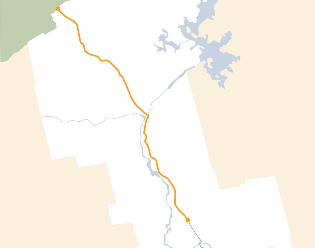
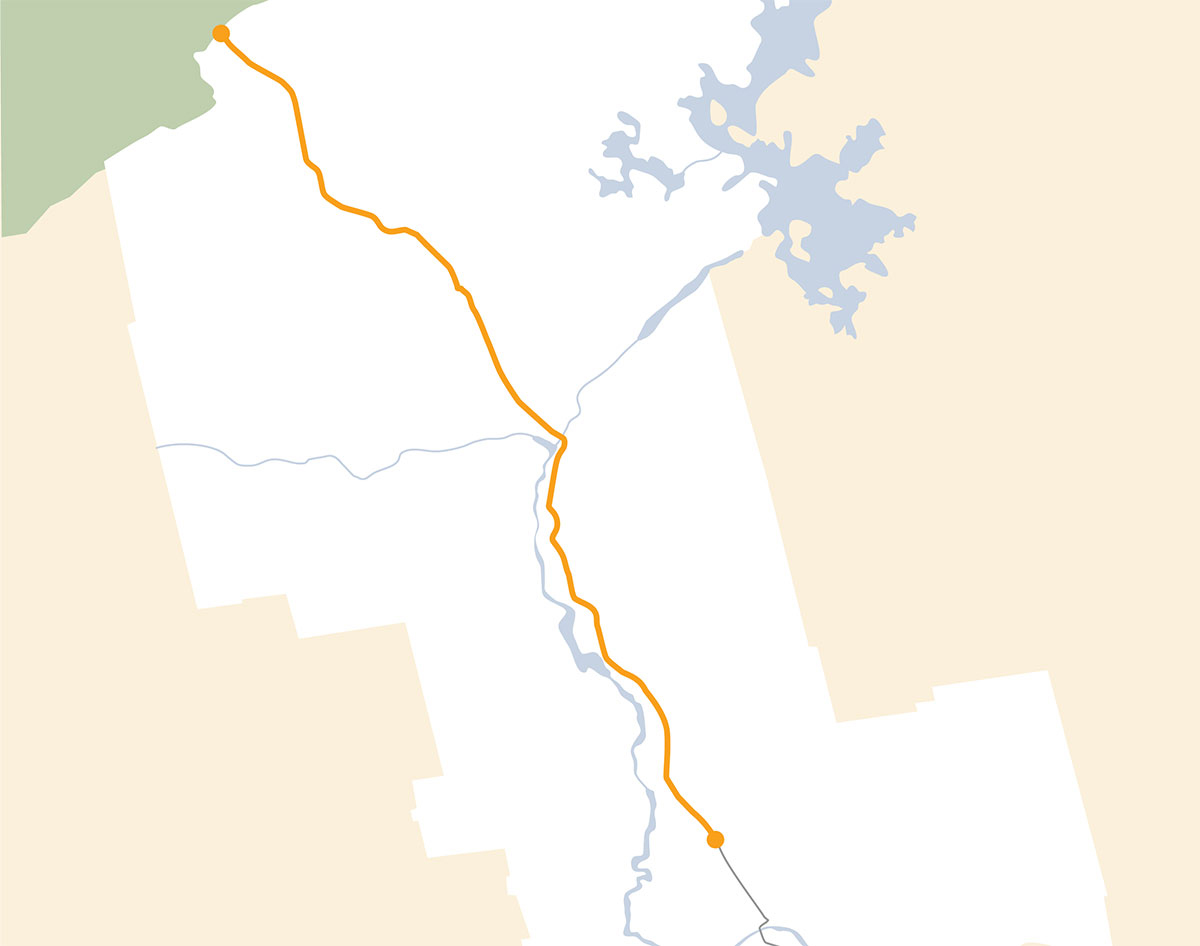
The small town of Solon is the gateway to the 'Old Canada Road” along historic U.S. Route 201. 

South Solon Meeting House

A plain and simple, white clapboard church with every inch of the walls and ceilings covered with massive frescos created by the nearby Skowhegan School of Painting and Sculpture.

Bingham

The historic small town of Bingham is known for being located halfway between the Equator and the North Pole.

Moscow

The town of Moscow is a popular destination for year-round outdoor recreation.

Caratunk

Caratunk is home to the only manned water crossing on the Appalachian Trail.

The Forks

Named for the confluence of the Dead and Kennebec Rivers, it is the home of whitewater rafting in the region. 

West Forks
Jackman
U.S./Canada Border Crossing
Robbins Hill Scenic Area

Robbins Hill Scenic Area marks the southernmost end of the Old Canada Road and offers fantastic views westward across the upper Kennebec River Valley.

Attean Overlook Rest Area
Parlin Pond
Moxie Falls
Cold Stream Falls
Houston Brook Falls

Enjoy a short, family-friendly hike to Houston Brook Falls. The waterfall is 32 feet tall and creates a swimming hole at the bottom.

Wyman Lake

Beautiful Wyman Lake was created in 1929 when Central Maine Power dammed the Kennebec River between Pleasant Ridge Plantation and Moscow.

Moxie Pond

This remote coldwater lake is a top fishing destination surrounded by protected forest land.

Wood Pond
Attean Pond
Brassua Lake

Like a local guide to nearly 100 spectacular locations throughout Maine’s Kennebec Valley right in your pocket.

The Kennebec Explorer In Destination Travel App
Explorer App Scan to Download

Scan to Download

Scroll to Top