
Maine’s landscapes stretch from rugged coasts to tranquil lakes and wild mountain highlands, offering a journey unlike any other. The right maine region map can transform your 2026 adventure, making navigation simple and every moment stress-free. Whether you are a first-time visitor or a seasoned explorer, understanding Maine’s diverse regions is key to unlocking hidden gems and scenic routes.
In this guide, you will discover the latest 2026 map updates, learn how to choose the best map for your needs, and explore the digital tools that make travel seamless. Get ready for expert navigation tips that ensure you travel Maine with confidence and ease. To view our official visitors guide click here.
Understanding Maine’s Regions: An Overview
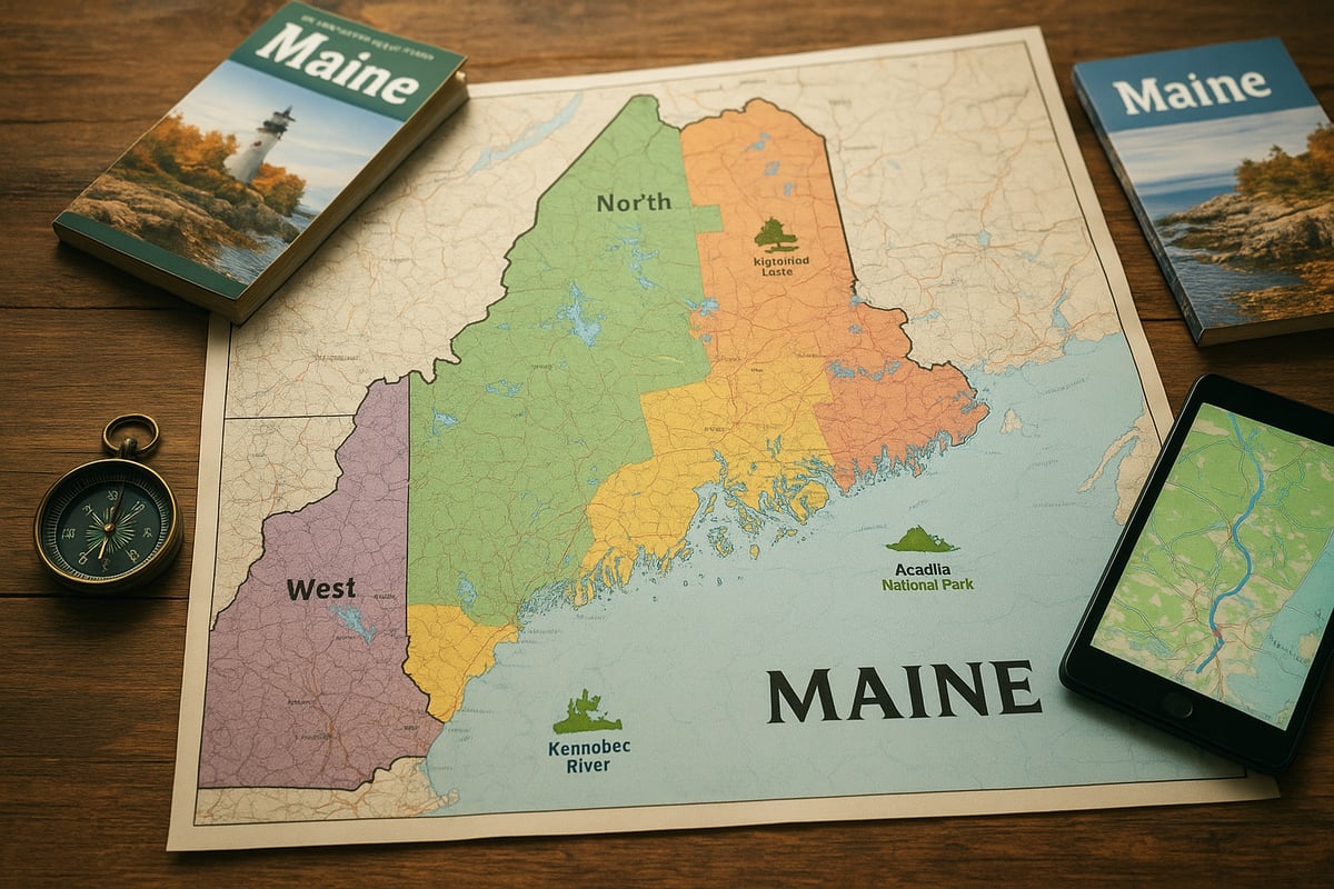
Maine’s landscape is as varied as it is vast, making a reliable maine region map essential for every traveler. The state is divided into five primary regions, each offering its own geography, culture, and must-see destinations. Understanding these regions helps visitors tailor their adventures and maximize every moment spent exploring Maine.
Geographic Breakdown of Maine
Maine is organized into Coastal, Highlands, Lakes & Mountains, Kennebec Valley, and Downeast & Acadia regions. The Coastal region stretches along the Atlantic, featuring rugged shorelines, lighthouses, and charming fishing villages.
The Highlands are known for dense forests and the iconic Moosehead Lake, a haven for wildlife and outdoor adventure. Lakes & Mountains attract hikers and skiers with their pristine waters and scenic peaks.
Kennebec Valley offers river journeys and historic towns, while Downeast & Acadia boasts dramatic cliffs and Acadia National Park, a top destination for nature lovers. A maine region map helps pinpoint these highlights and plan efficient routes.
Why Regional Maps Matter
Each region’s unique terrain and attractions influence travel routes and accessibility. A maine region map allows you to identify major highways, scenic byways, and lesser-known backroads that link destinations.
Regional distinctions are crucial for trip planning, especially since over 90 percent of visitors explore more than one area per trip. For example, using Kennebec Valley’s official region map helps travelers find river adventures and cultural sites efficiently. A well-chosen map means less time lost and more memories made.
Navigational Challenges in Maine
Maine’s sheer size, rural roadways, and dense forests can make navigation tricky, especially where cell service is limited. A maine region map provides reliable guidance when digital tools falter.
Travelers often encounter remote byways and unmarked trails. Knowing how to use printed and digital maps is vital, especially when venturing beyond major highways. For instance, scenic byways may offer breathtaking views but require careful planning compared to straightforward interstate routes.
Updates for 2026
Travelers using a maine region map in 2026 will benefit from recent updates. The state’s transportation plan includes more than 150 miles of new recreational trails and expanded road networks.
Some regional boundaries are being refined, and new attractions are emerging in several areas. Updated editions of maps will reflect these changes, helping visitors navigate freshly marked trails, improved highways, and new points of interest. Staying current ensures your route is accurate and your experience is seamless.
Regional Events and Seasonal Variations
Maine’s vibrant calendar of festivals and outdoor events adds another layer to trip planning. A maine region map helps you plot routes around popular happenings and avoid seasonal road closures.
In autumn, leaf-peeping routes become prime attractions, while winter brings expansive snowmobile trails. Spring and summer highlight lakes and rivers, each with unique access points. Using a current map ensures you never miss a festival or find yourself rerouted by unexpected closures, keeping your journey on track.
Types of Maine Region Maps: Choosing the Right Tool
Choosing the right maine region map can make all the difference for your 2026 journey. Whether you prefer the feel of paper or the convenience of a smartphone, understanding your options ensures smooth navigation across Maine’s diverse landscapes.
Printed Maps vs. Digital Maps
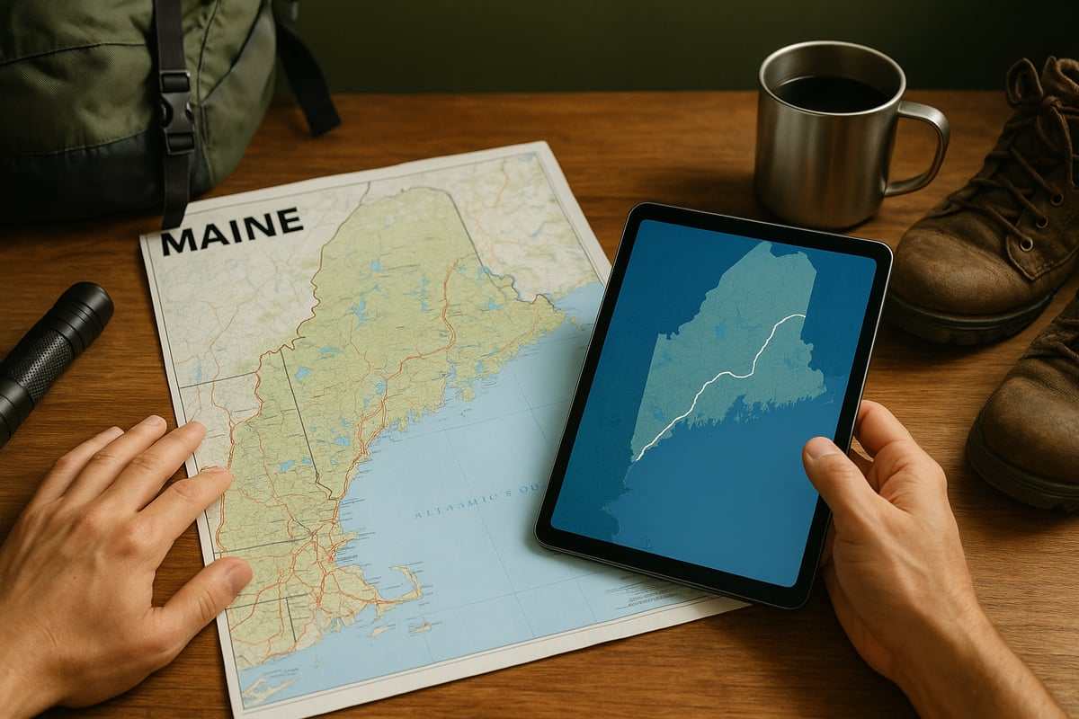
When planning a trip with a maine region map, consider the advantages of printed maps. They never run out of battery and are reliable in remote areas with limited connectivity. Printed maps are especially useful for backcountry hiking or paddling excursions.
Digital maps, on the other hand, offer real-time updates and interactive features. They are ideal for city exploration and spontaneous detours. However, digital maps may be less dependable in Maine’s wilderness, where cell service is spotty.
Pros and Cons Table
|
Map Type |
Pros |
Cons |
|---|---|---|
|
Printed |
No batteries needed, broad coverage |
Can become outdated, less interactive |
|
Digital |
Real-time updates, GPS integration |
Requires power, may lack remote detail |
Selecting the right maine region map often means carrying both types for maximum flexibility.
Official State and Regional Maps
Official maps remain a cornerstone for any maine region map toolkit. The Maine Department of Transportation provides comprehensive state-wide maps, detailing highways, scenic byways, and local roads. Regional tourism councils also offer maps focusing on unique attractions and travel routes.
For example, the Kennebec Valley’s official visitor map highlights river routes, historic towns, and cultural sites. These maps are meticulously updated and often available at visitor centers or for download online.
Using an official maine region map ensures you are relying on verified, up-to-date information for your travels.
Specialty Maps for Outdoor Activities
Outdoor enthusiasts benefit from specialty maine region map options tailored to specific activities. Hiking maps display trail difficulty, elevation, and access points, while biking maps highlight safe cycling routes and rest stops.
For paddlers, river and lake maps indicate launch points and portages. In winter, snowmobiling maps provide detailed trail networks and emergency info. Having the right specialty maine region map can make your adventure safer and more enjoyable.
Popular Specialty Maps:
-
Hiking trail maps (e.g., Baxter State Park)
-
Biking route guides (e.g., Rangeley Lakes region)
-
Snowmobile trail systems
-
Paddling charts for rivers and lakes
Always choose a specialty maine region map designed for your activity and region.
Navigational Apps and GPS Tools
Modern travelers increasingly rely on digital maine region map solutions. Top-rated apps like AllTrails, Gaia GPS, and Google Maps offer extensive coverage and offline capabilities for Maine’s rugged terrain.
For those exploring remote areas, consider dedicated GPS devices. These units often perform better than smartphones when cell service drops.
Travelers seeking a seamless digital experience can use the Digital travel planning tools offered by the Kennebec Valley Explorer App, which provides offline maps and up-to-date navigation features.
No matter your preference, integrating a digital maine region map into your toolkit ensures real-time updates and increased confidence on the road.
Accessibility and Inclusive Mapping
Accessibility is a vital consideration when selecting a maine region map. Inclusive mapping resources highlight wheelchair-accessible routes, sensory-friendly attractions, and adaptive outdoor activities.
Maps designed for accessibility can help travelers plan routes that accommodate mobility needs and ensure everyone enjoys Maine’s scenic wonders. Look for maine region map guides that include accessibility symbols, tactile elements, or digital layers for inclusive travel.
Before your trip, review accessible travel guides and confirm features directly with local tourism offices. This approach guarantees a smoother, more enjoyable experience for all.
Step-by-Step: Navigating Maine with Confidence in 2026
Planning your Maine journey is easier and more enjoyable when you use a maine region map as your guide. This step-by-step approach helps you explore confidently, no matter your interests or travel style. Follow these essential steps to make the most of your 2026 adventure.
Step 1: Define Your Regions and Destinations
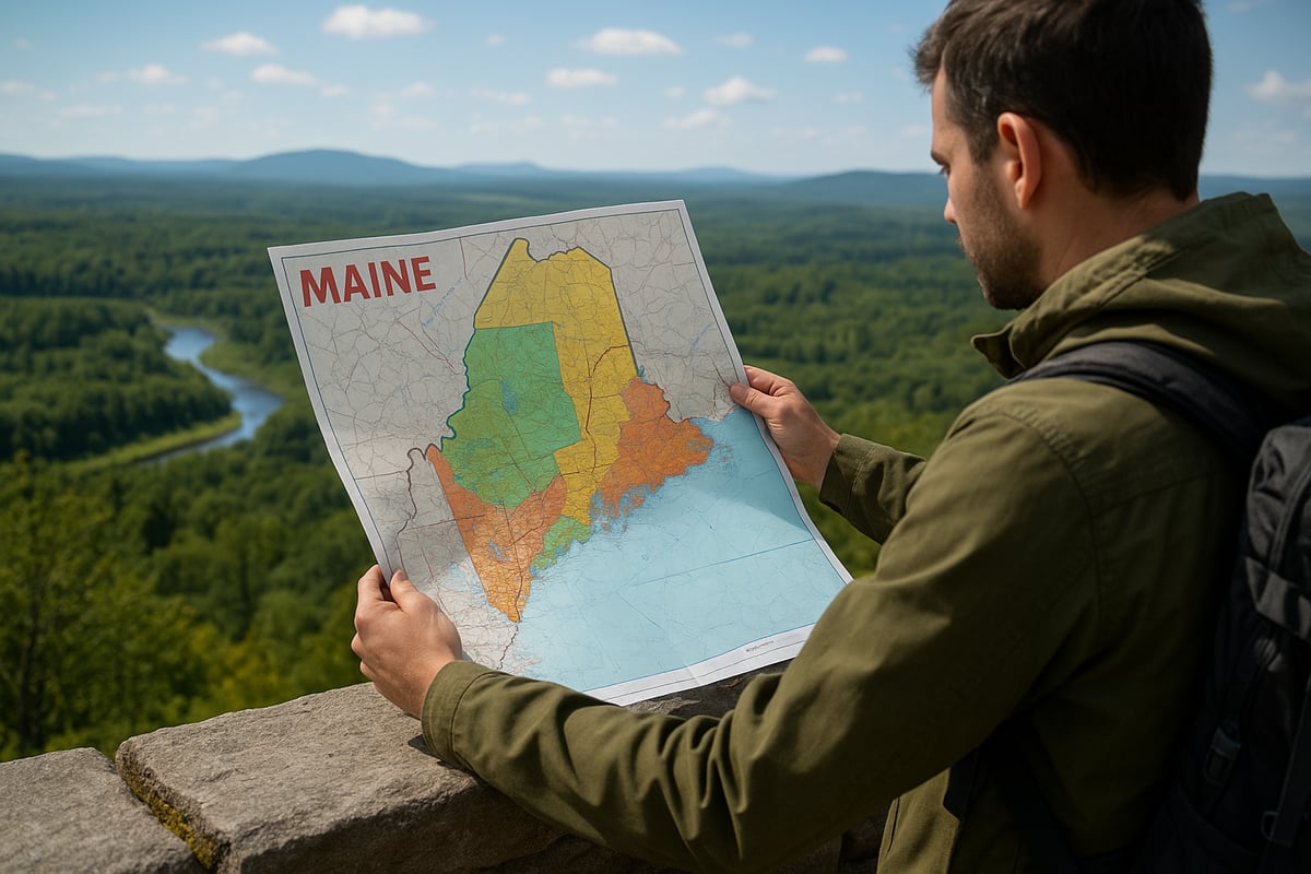
Begin by researching the five main regions of Maine to find the best fit for your interests. A maine region map will help you visualize the landscape and pinpoint the experiences you want, from the rugged coast to the tranquil lakes.
Consult official tourism sites like Visit Maine and regional council pages for up-to-date inspiration. These resources showcase attractions, hidden gems, and seasonal highlights. For example, if you are drawn to river adventures and scenic drives, Kennebec Valley might be your ideal starting point.
List your must-see destinations, and use your maine region map to sketch a rough outline of your route. This foundation ensures your trip covers all the highlights that matter to you.
Step 2: Select the Best Map(s) for Your Journey
Choosing the right maine region map depends on your planned activities and destinations. Printed maps are reliable for backcountry travel, while digital maps offer convenience for urban or well-connected areas.
Obtain maps from official visitor centers, regional tourism offices, and trustworthy online sources. For the most accurate boundaries and recent changes, consult resources like the 2026 BAS Maps for Maine. Always carry a backup map, especially if you plan to explore remote or wilderness areas with limited connectivity.
Match your map choice to your adventure, and keep both digital and print versions handy for peace of mind.
Step 3: Plan Your Route and Key Stops
Use your maine region map to chart an efficient and scenic route, including must-see attractions, rest points, and photo opportunities. Factor in current road conditions, construction updates, and any seasonal closures.
A popular loop might start in Portland, wind through Acadia National Park, continue into the Kennebec Valley, and circle back. With your maine region map, you can spot detours, alternative routes, and lesser-known byways that add depth to your journey.
Make a list of key stops and estimate travel times. This careful planning ensures you maximize your time and see the best of each region without feeling rushed.
Step 4: Utilize Digital Tools and GPS for Real-Time Updates
Before heading into areas with spotty service, download offline versions of your maine region map using trusted apps. Set up real-time alerts for traffic, weather, and detours to stay informed on the road.
For instance, Google Maps’ offline mode is essential when navigating inside Baxter State Park. Combine your maine region map with GPS tools to cross-reference data and avoid unexpected obstacles.
Stay flexible by checking your app for updates throughout your trip. With these digital resources, you will always know your location, even in the most remote corners of Maine.
Step 5: Stay Flexible and Prepared
Weather, events, and road closures can change plans quickly in Maine. Use your maine region map to adjust routes on the fly, staying open to new discoveries or detours.
Emergency preparedness is vital. Identify the nearest ranger stations, medical facilities, and service stops on your map. According to the Maine Tourism Association, 30% of travelers adjust their itinerary due to weather, making flexibility a must.
Keep a small emergency kit and backup navigation tools with you. Being prepared ensures your adventure continues smoothly, no matter what comes your way.
Step 6: Make the Most of Local Resources
Leverage local knowledge by stopping at visitor centers, ranger stations, and talking to guides or residents. Your maine region map can be annotated with tips and recommendations for hidden gems.
Locals often know about the best scenic spots, quiet trails, or upcoming events not found online. Mark these suggestions directly onto your maine region map for easy reference as you travel.
By combining official resources with local insights, you will uncover authentic experiences that set your Maine trip apart.
Step 7: Keep Maps Updated
Maine’s transportation network and attractions evolve every year. Stay current by updating your maine region map regularly. Download the latest editions from official state or regional websites and subscribe to email alerts or app notifications for real-time updates.
Many visitor centers offer updated print maps, while digital apps push new information directly to your device. Refresh your maine region map before each major leg of your journey to ensure you never miss a new trail, event, or scenic route.
With updated maps, you are equipped to navigate Maine confidently and make the most of every moment.
Digital Navigation Tools: Apps, GPS, and Online Resources
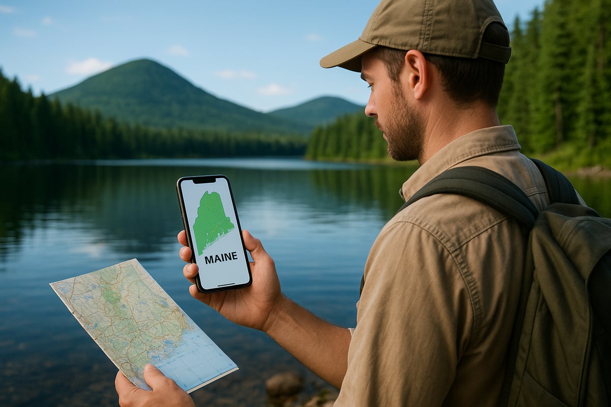
Efficient navigation in Maine starts with the right digital tools. Today’s travelers rely on a mix of apps, GPS devices, and online resources to make the most of every maine region map. Choosing the best technology for your trip ensures you stay on course, even in Maine’s wildest landscapes.
Leading Navigation Apps for Maine Travel
Modern maine region map solutions start with powerful navigation apps. Popular choices like AllTrails, Gaia GPS, and Google Maps offer robust features for both urban and backcountry exploration. Many travelers appreciate AllTrails for its extensive trail database, while Gaia GPS is favored for offline wilderness maps. Google Maps remains a go to for road navigation and city routes.
Below is a quick comparison of top apps:
|
App |
Offline Maps |
Trail Data |
User Ratings |
|---|---|---|---|
|
AllTrails |
Yes |
Extensive |
4.8/5 |
|
Gaia GPS |
Yes |
Excellent |
4.7/5 |
|
Google Maps |
Yes |
Limited |
4.6/5 |
Review user feedback and feature sets before selecting the best maine region map app for your adventure.
GPS Devices vs. Smartphone Navigation
When planning a trip using a maine region map, consider if a dedicated GPS device is needed. Smartphones offer convenience and versatility, but battery life and signal loss can be issues in remote areas. In contrast, devices like Garmin GPS units excel in Maine’s wilderness, providing reliable satellite tracking and rugged construction.
For extended backcountry travel, a standalone GPS may outperform a phone. However, for city navigation and short hikes, smartphones with a maine region map app are typically sufficient.
Choosing the right tool means assessing your route, connectivity, and backup needs.
Downloading and Using Offline Maps
Access to a maine region map does not always require a live internet connection. Most leading apps, including Google Maps and Gaia GPS, allow you to download offline maps before your journey. This feature is essential when venturing into areas with limited or no cell service.
To download offline maps:
-
Open your navigation app and locate the maine region map area.
-
Select the option to save or download for offline use.
-
Ensure your device has enough storage space.
-
Update downloads regularly for accuracy.
If issues arise, check app permissions and available device memory. With offline maps, you can confidently explore every corner of Maine.
Real-Time Data: Traffic, Weather, and Event Alerts
A maine region map becomes even more powerful when combined with real-time data. Integrating weather and traffic updates into your navigation app helps you avoid delays and stay safe. Many apps offer alerts for construction, accidents, and sudden weather changes.
For major roadways and event planning, use Maine DOT’s real-time road conditions portal. Set up notifications to receive updates as you travel, and always check for seasonal closures or festival routes before departure.
Timely information ensures your navigation remains smooth and stress free.
Online Map Resources and Planning Tools
Beyond apps, official online resources enhance your maine region map experience. The Maine Department of Transportation provides printable and interactive maps for roads, trails, and scenic byways. Regional tourism councils also offer downloadable guides and event calendars.
Travelers seeking inclusive navigation can find Accessible travel and inclusive maps to support all abilities, ensuring everyone enjoys Maine’s diverse regions.
Bookmark these sites before your trip to access the latest updates and plan confidently.
Must-See Regions and Scenic Routes: Map Highlights for 2026
Planning your 2026 journey with a maine region map opens up a world of scenic drives, outdoor adventures, and unforgettable cultural experiences. Each region features its own unique highlights, mapped routes, and seasonal attractions, making navigation both exciting and rewarding.
Iconic Scenic Drives
A maine region map is essential for uncovering the state’s most iconic scenic routes. Maine’s roadways are famous for their breathtaking landscapes, historic towns, and dramatic coastlines. Here are some top drives to include:
|
Route Name |
Region |
Highlights |
|---|---|---|
|
Acadia All-American Road |
Downeast & Acadia |
Ocean vistas, Acadia NP |
|
Rangeley Lakes Scenic Byway |
Lakes & Mountains |
Mountain views, lakes |
|
Old Canada Road |
Kennebec Valley |
River valleys, forests |
For a detailed look at Kennebec Valley’s best routes, visit Scenic drives in Kennebec Valley to plan your perfect itinerary.
Outdoor Adventure Hotspots
Your maine region map will guide you to premier outdoor adventure destinations. Whether you love hiking, paddling, or wildlife watching, each region offers mapped trails and access points.
-
Moosehead Lake: Hiking, boating, and moose watching
-
Kennebec River: Whitewater rafting and fishing
-
Baxter State Park: Challenging hikes and remote campsites
Navigating these areas with a reliable map ensures you find the right trailheads, parking, and safety resources for each activity.
Cultural and Historic Destinations
A maine region map helps travelers locate the state’s rich cultural and historic sites. From charming villages to museums and festivals, every region offers something unique.
Augusta, Maine’s capital, is steeped in history, while Wiscasset is known as the prettiest village in Maine. Museums, art galleries, and local heritage sites are clearly marked, making it easy to build an itinerary that matches your interests.
Regional Events and Festivals
With a maine region map, it’s simple to navigate to the state’s most celebrated events and festivals. Plan your route to the Maine Lobster Festival or the Kennebec River Rail Trail Half Marathon with confidence.
Maps highlight event locations, parking, and alternate routes, helping you avoid traffic and maximize your time. Many maps also feature up-to-date event calendars and special detours for festival days.
Seasonal Attractions and Map Tips
Seasonal changes bring new opportunities, and a maine region map is your best tool for adapting your plans. In autumn, leaf-peeping routes are marked for optimal foliage viewing.
Winter maps highlight snowmobile trails and ski areas, while summer editions showcase lakefront access and hiking paths. Always check for seasonal closures or detours to ensure a smooth journey.
As you look ahead to planning your 2026 Maine adventure, having the right resources at your fingertips makes all the difference. With updated maps, expert tips, and insights into each unique region, you’re set to explore with true confidence—from the Kennebec Valley’s scenic river routes to the cultural gems of Augusta. If you’re ready to turn your travel plans into reality, you’ll find everything you need—detailed maps, curated itineraries, and the latest updates—just a click away. Let’s make your journey seamless and memorable—Plan Your Trip