
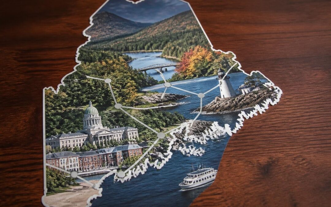
Planning a trip to Maine requires more than just enthusiasm for lobster rolls and lighthouse views. A well-designed maine tourism map serves as your essential companion for discovering everything from whitewater rafting adventures to hidden coastal villages. Whether you're drawn to the rugged mountains, pristine lakes, or historic downtowns of central Maine, the right mapping resources help transform a good trip into an unforgettable journey. Understanding how to leverage both digital and traditional mapping tools ensures you won't miss the scenic byways, local breweries, and cultural landmarks that make each region unique. To view our official visitors guide click here.
Understanding Maine's Geographic Diversity Through Tourism Maps
Maine spans over 35,000 square miles of remarkably varied terrain, making comprehensive mapping crucial for trip planning. A maine tourism map typically divides the state into distinct regions, each offering unique experiences and attractions.
The coastal zone stretches from Kittery to Calais, featuring hundreds of miles of rocky shoreline, sandy beaches, and island communities. Central Maine, including the Kennebec Valley, presents a blend of historic cities, agricultural landscapes, and outdoor recreation opportunities. The western mountains region encompasses ski resorts, hiking trails, and pristine wilderness areas. Northern Maine offers vast forests, Acadia National Park, and unparalleled opportunities for solitude and natural beauty.
Regional Focus Areas on Modern Maps
Tourism maps segment Maine into manageable planning zones:
- Southern Coast: Portland, Kennebunkport, Ogunquit, Old Orchard Beach
- Midcoast: Bath, Brunswick, Boothbay Harbor, Camden
- Acadia Region: Bar Harbor, Mount Desert Island, Schoodic Peninsula
- Kennebec Valley: Augusta, Waterville, Gardiner, Belgrade Lakes
- Western Mountains: Bethel, Rangeley, Sugarloaf, Sunday River
- Aroostook County: Presque Isle, Fort Kent, Allagash Wilderness
- Downeast: Lubec, Eastport, Machias, Washington County
Each zone requires different map scales and detail levels. Coastal areas benefit from nautical charts showing harbors and marine facilities, while mountain regions need topographic detail for trail planning.
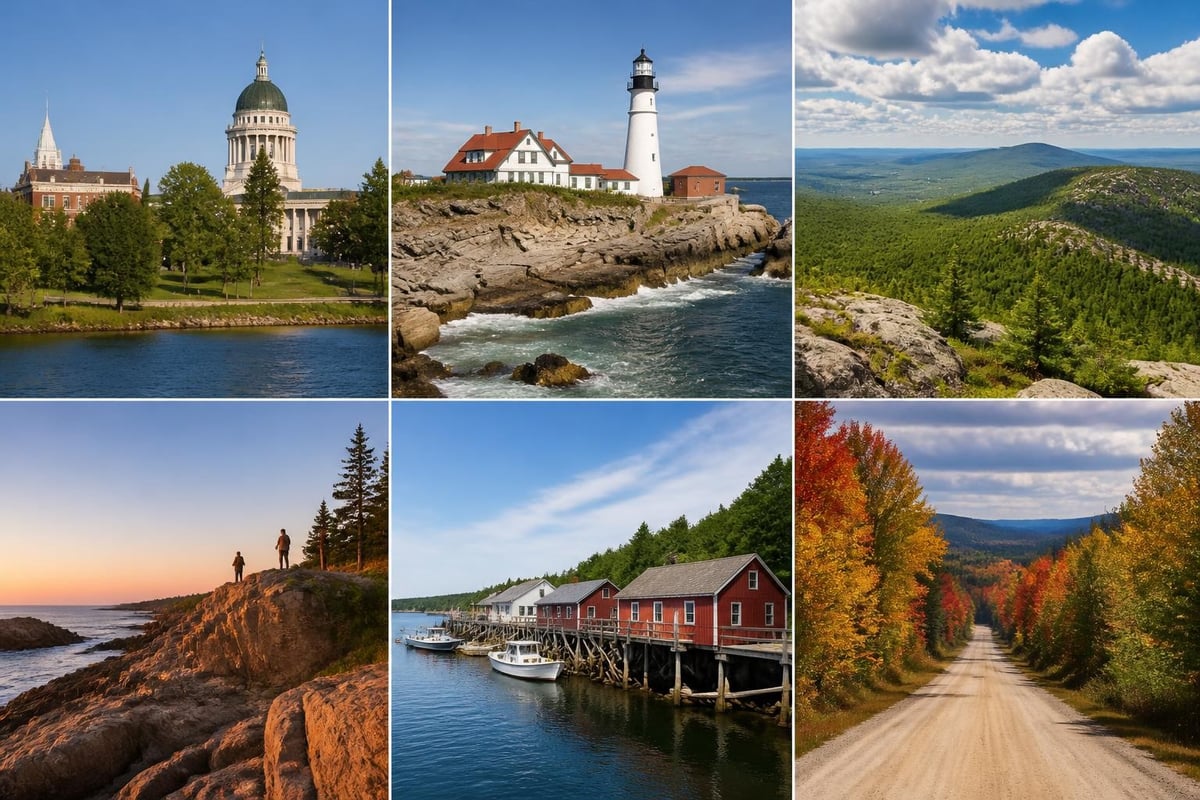
Digital Versus Print Maine Tourism Maps
The debate between digital and print mapping tools continues in 2026, with seasoned travelers often using both formats strategically. Digital maps offer real-time updates, GPS integration, and searchable databases of attractions. Print maps provide reliability in areas with limited cellular coverage and allow for easy trip overview without battery concerns.
Digital Map Advantages:
- Live traffic and road condition updates
- Integration with reservation systems and booking platforms
- Customizable layers for activities, dining, lodging
- Offline download capabilities for remote areas
- Social sharing and collaborative trip planning
- Point-of-interest reviews and ratings
Print Map Benefits:
- No battery or signal dependency
- Better spatial awareness and route planning
- Easier annotation and marking
- Shareable among travel groups
- No screen glare in bright sunlight
- Keepsake and reference for future trips
Many tourism councils now offer hybrid solutions. The Digital Guidebook from the Kennebec Valley Tourism Council provides both interactive online features and downloadable PDF versions that combine the benefits of both formats.
Data Sources for Authoritative Tourism Maps
Professional maine tourism map creators pull data from multiple authoritative sources to ensure accuracy and comprehensiveness. The Maine Department of Environmental Protection provides GIS layers covering recreation sites, land use, wetlands, and environmental features essential for outdoor activity planning.
Federal agencies contribute critical mapping data. The USGS topoView offers detailed topographic maps crucial for hiking and backcountry exploration. The National Park Service provides specialized maps for Acadia and other federal lands, while NOAA’s coastal survey ensures maritime accuracy for coastal tourism.
Essential Features of Comprehensive Tourism Maps
An effective maine tourism map balances detail with readability, presenting information hierarchically so users can quickly identify relevant features for their interests. The best maps layer information thoughtfully, allowing travelers to drill down from regional overview to specific attraction details.
| Feature Category | Essential Elements | User Benefit |
|---|---|---|
| Transportation | Interstate highways, state routes, scenic byways, airports, ferry terminals | Route planning and travel time estimation |
| Accommodations | Hotels, B&Bs, campgrounds, vacation rentals categorized by amenity level | Lodging decisions based on location and budget |
| Dining | Restaurants, cafes, breweries, farm stands marked by cuisine type | Meal planning and culinary exploration |
| Activities | Hiking trails, water sports, ski areas, golf courses, museums | Interest-based itinerary building |
| Services | Visitor centers, hospitals, gas stations, parking areas | Emergency preparedness and logistics |
Seasonal Mapping Considerations
Maine's dramatic seasonal variations demand tourism maps that address different visitor needs throughout the year. Winter maps emphasize ski resorts, snowmobile trails, ice fishing locations, and winter festivals. Summer versions highlight beaches, kayaking routes, farmers markets, and outdoor concerts.
Fall foliage maps incorporate predicted peak color dates for different elevations and latitudes. Spring maps focus on maple syrup operations, early-season hiking, and seasonal wildlife viewing opportunities. Forward-thinking tourism maps in 2026 include climate data and historical weather patterns to help visitors pack appropriately and set realistic expectations.
Creating Custom Itineraries with Tourism Maps
A maine tourism map becomes most valuable when used as an active planning tool rather than passive reference material. Smart travelers mark potential stops, calculate realistic drive times, and identify backup options for weather-dependent activities.
Step-by-Step Route Planning Process
- Identify anchor destinations: Mark must-see attractions and reserve accommodations
- Calculate drive times: Add 20-30% to GPS estimates for scenic stops and traffic
- Map activity clusters: Group nearby attractions to minimize backtracking
- Note seasonal operations: Verify hours and seasonal closures for all planned stops
- Mark service points: Identify gas stations, ATMs, and medical facilities along routes
- Plan meal stops: Research local dining options and make reservations where needed
- Build in flexibility: Leave unscheduled time for spontaneous discoveries
The Kennebec Valley exemplifies why detailed regional mapping matters. Visitors to West Forks, Maine need maps showing access roads to whitewater rafting outfitters, while those exploring Downtown Gardiner benefit from walking maps highlighting historic architecture and waterfront parks.
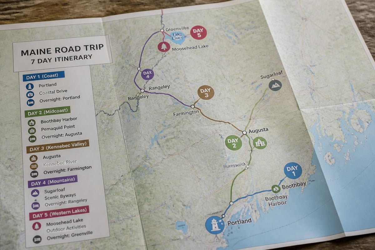
Specialized Tourism Map Types for Maine Visitors
Beyond general-purpose tourism maps, Maine offers numerous specialized mapping resources targeting specific interests and activities. These niche maps provide depth that general maps cannot match, helping enthusiasts maximize their time pursuing particular passions.
Outdoor Recreation Maps:
- Trail systems with difficulty ratings and elevation profiles
- Paddling routes showing put-in points and portages
- Fishing maps marking productive areas and species
- Snowmobile trail networks with condition reporting
- Mountain biking terrain with technical ratings
Cultural and Heritage Maps:
- Historic districts with architectural highlights
- Maritime heritage trails along working waterfronts
- Arts and gallery districts in creative communities
- Agricultural tourism routes connecting farms and producers
- Literary landmarks associated with Maine authors
The Maine Geological Survey publishes specialized maps showing coastal features, surficial geology, and natural hazards valuable for both scientific and recreational purposes.
Brewery and Culinary Trail Maps
Food and beverage tourism has exploded across Maine, creating demand for specialized dining and drinking maps. The beer trail through the Kennebec Valley connects craft breweries with tasting rooms, showcasing the region's growing craft beverage scene.
Culinary maps highlight farm-to-table restaurants, seafood shacks, maple syrup producers, and artisanal food makers. Wine and cider trails map Maine's growing vintner community. These specialized maps often include production details, tasting notes, and seasonal availability information that transforms casual dining into culinary adventure.
| Trail Type | Key Features | Best Season |
|---|---|---|
| Craft Brewery | Tasting rooms, tours, special releases | Year-round, peak summer |
| Farm-to-Table | Seasonal menus, farm visits, cooking classes | Late spring through fall |
| Seafood | Lobster pounds, oyster farms, fish markets | Summer and early fall |
| Maple Syrup | Sugar houses, production demos, tastings | March and April |
| Artisan Cheese | Creameries, aging facilities, pairings | Spring through fall |
Digital Mapping Technology and Mobile Applications
Mobile mapping applications have revolutionized how visitors navigate Maine in 2026. GPS-enabled smartphones provide turn-by-turn directions, real-time attraction information, and user-generated content that supplements official tourism data.
Leading tourism apps integrate multiple data streams: official attraction information, user reviews, current hours and availability, weather forecasts, and social media feeds. Push notifications alert users to nearby events, special offers, and traffic conditions. Offline map downloads ensure functionality in Maine's many cellular dead zones.
Augmented Reality and Interactive Features
Cutting-edge maine tourism map applications now incorporate augmented reality features that overlay information onto camera views. Point your phone at a historic building to see historical photos and architectural details. Aim at a mountain peak to identify it and view trail information. Scan a restaurant to see menus, reviews, and current wait times.
Interactive elements let users filter map displays by interest: show only pet-friendly accommodations, display only restaurants serving local seafood, or highlight only ADA-accessible attractions. Customization puts control in travelers' hands, showing them exactly what they want to see.
Understanding Maine's Scenic Byways Through Maps
Maine's network of scenic byways represents some of the state's most beautiful driving routes, and specialized maps help travelers experience them fully. Scenic America provides detailed information about Maine's officially designated scenic routes, highlighting what makes each unique.
The Old Canada Road Scenic Byway passes through the Kennebec Valley, following the historic route between Quebec and New England. Maps of this byway mark historical sites, natural landmarks, and viewpoints. The Rangeley Lakes Scenic Byway showcases western mountain beauty, while the Schoodic National Scenic Byway traces dramatic coastal scenery.
Effective byway maps include:
- Mile-by-mile attraction guides
- Historical context and cultural information
- Photo opportunity locations
- Pullout and rest area locations
- Estimated drive times at scenic speeds
- Seasonal considerations and best viewing times
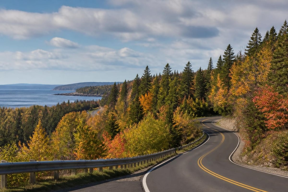
Accessibility and Universal Design in Tourism Maps
Modern maine tourism map design increasingly prioritizes accessibility, ensuring all visitors can navigate the state regardless of physical limitations. Maps now indicate wheelchair-accessible trails, attractions with audio guides, hotels with accessible rooms, and restaurants accommodating dietary restrictions.
The FEMA Map Service Center provides flood zone information crucial for visitors with mobility concerns who need to avoid areas prone to seasonal flooding. This data helps tourism planners create accessible routes that remain passable year-round.
Inclusive Mapping Information
Progressive tourism maps in 2026 include detailed accessibility ratings beyond simple wheelchair symbols. They note surface types (paved, gravel, boardwalk), gradient percentages, rest area frequency, accessible parking availability, and sensory accommodation offerings. Cultural attractions indicate whether they offer sign language interpretation, audio descriptions, or tactile exhibits.
Budget-conscious travelers benefit from maps marking free attractions, public beach access points, no-fee parking areas, and affordable dining options. Family-focused maps highlight playgrounds, splash pads, family restrooms, and kid-friendly restaurants. Pet-friendly indicators show which beaches, trails, and accommodations welcome four-legged companions.
Environmental and Conservation Context in Maps
Environmentally conscious travelers increasingly seek maps that provide ecological context for their visits. Modern maine tourism map designs incorporate information about protected areas, wildlife viewing opportunities, and conservation initiatives. The Gulf of Maine Research Institute offers coastal resilience mapping that helps visitors understand environmental challenges facing coastal communities.
Maps highlighting Leave No Trace principles, trail etiquette, and wildlife safety guidelines educate visitors while they plan. Designations like Important Bird Areas, critical habitat zones, and seasonal wildlife closures appear on comprehensive tourism maps, helping travelers minimize their environmental impact.
Climate Adaptation and Sea Level Rise
Forward-thinking tourism mapping now incorporates climate change projections. The NOAA Sea Level Rise Viewer provides data showing potential future coastal changes, helping both tourism planners and visitors understand long-term landscape evolution. This information matters for multi-generational trip planning and helps travelers appreciate Maine's dynamic coastal environment.
Maps showing beach erosion trends, changing fish populations, shifting growing seasons for agriculture, and evolving wildlife patterns provide educational value beyond simple navigation. They transform tourism into environmental learning, fostering stewardship among visitors.
Cultural Event and Festival Mapping
Maine hosts hundreds of annual events, from intimate gallery openings to massive festivals drawing thousands. Event-focused maine tourism map versions help visitors time their trips to coincide with specific celebrations or avoid overwhelming crowds if they prefer quieter experiences.
Cultural venues like the Waterville Opera House and Maine Film Center maintain performance calendars that integrate with regional tourism maps, showing visitors what's happening during their visit. Festival maps indicate parking, shuttle routes, vendor locations, and schedule details.
Annual events worth mapping include:
- June: Windjammer Days, Old Port Festival, Maine Boatbuilders Show
- July: Yarmouth Clam Festival, Bangor State Fair, North Atlantic Blues Festival
- August: Maine Lobster Festival, Machias Wild Blueberry Festival, Augusta Family Fun Day
- September: Common Ground Country Fair, Fryeburg Fair, Acadia Night Sky Festival
- October: Damariscotta Pumpkinfest, Fright at the Fort, foliage festivals
- December: Christmas Prelude, Festival of Lights, Sparkle Weekend celebrations
Historical and Educational Map Layers
History enthusiasts benefit from maine tourism map versions that highlight the state's rich past. Historical overlay maps show how communities evolved, where significant events occurred, and how transportation networks developed over centuries.
Revolutionary War sites, Civil War connections, maritime history landmarks, Native American heritage sites, and industrial archaeology locations appear on historical tourism maps. Educational institutions, museums, and interpretive centers receive prominent marking, helping visitors plan intellectually enriching itineraries.
The Kennebec Valley's role in Maine's lumber industry, its position as the state capital region, and its connections to Benedict Arnold's ill-fated Quebec expedition provide rich historical mapping opportunities. These stories come alive when maps connect physical locations to historical narratives.
Integrating Lodging and Dining Information
Comprehensive maine tourism map systems integrate practical visitor services seamlessly with attraction information. Lodging layers show hotels, motels, bed-and-breakfasts, vacation rentals, and campgrounds categorized by price point, amenities, and location. Advanced filtering lets travelers find exactly what they need: pet-friendly waterfront cottages, downtown hotels with parking, or budget campgrounds near hiking trails.
Restaurant mapping goes beyond simple location pins. Modern systems include:
- Cuisine type and price range indicators
- Reservation availability and booking links
- Current menus and seasonal specialties
- Dietary accommodation flags (vegetarian, gluten-free, allergen-aware)
- Local food sourcing information
- User ratings and recent reviews
- Hours of operation and seasonal closures
Farm stands, farmers markets, and U-pick operations receive special attention on food-focused maps, connecting visitors with Maine's agricultural bounty.
Weather and Safety Information Integration
Safety-conscious maine tourism map designs incorporate real-time weather data, road conditions, and emergency information. Winter travelers need ice and snow warnings. Summer visitors appreciate beach flag systems and thunderstorm alerts. Spring hikers benefit from mud season trail condition updates.
Maps showing locations of hospitals, urgent care facilities, police stations, and fire departments provide peace of mind. Emergency contact information, cellular coverage maps, and alternative communication options (marine radio channels, emergency beacons) assist remote area travelers. Tide charts, current predictions, and marine weather forecasts integrate into coastal tourism maps.
Strategic use of a maine tourism map transforms ordinary vacations into extraordinary adventures by revealing the full spectrum of opportunities across this diverse state. Whether you're planning whitewater rafting excursions, tracing historic trails, or simply seeking the perfect lobster roll, comprehensive mapping resources ensure you experience Maine's best. The Kennebec Valley Tourism Council provides expertly curated guides and resources to help you navigate central Maine's distinctive blend of natural beauty, cultural attractions, and outdoor adventures, making your visit both seamless and unforgettable.