
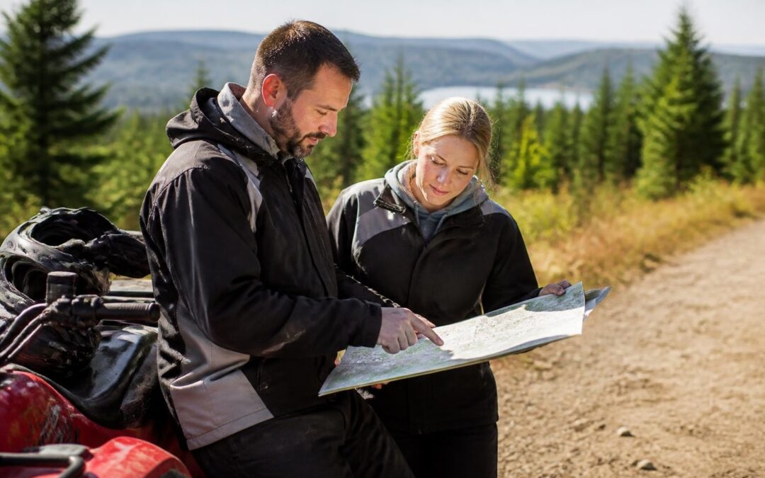
Maine's expansive network of ATV trails offers riders thousands of miles of scenic backcountry routes, from dense forests to mountain ridges and riverside corridors. Accessing a comprehensive maine atv trail map is essential for planning safe, enjoyable rides that maximize your experience while respecting landowner agreements and conservation areas. Whether you're a first-time visitor or a seasoned rider exploring new territory, understanding how to find, read, and use trail maps will transform your Maine ATV adventure. To view our official visitors guide click here.
Understanding Maine's ATV Trail System
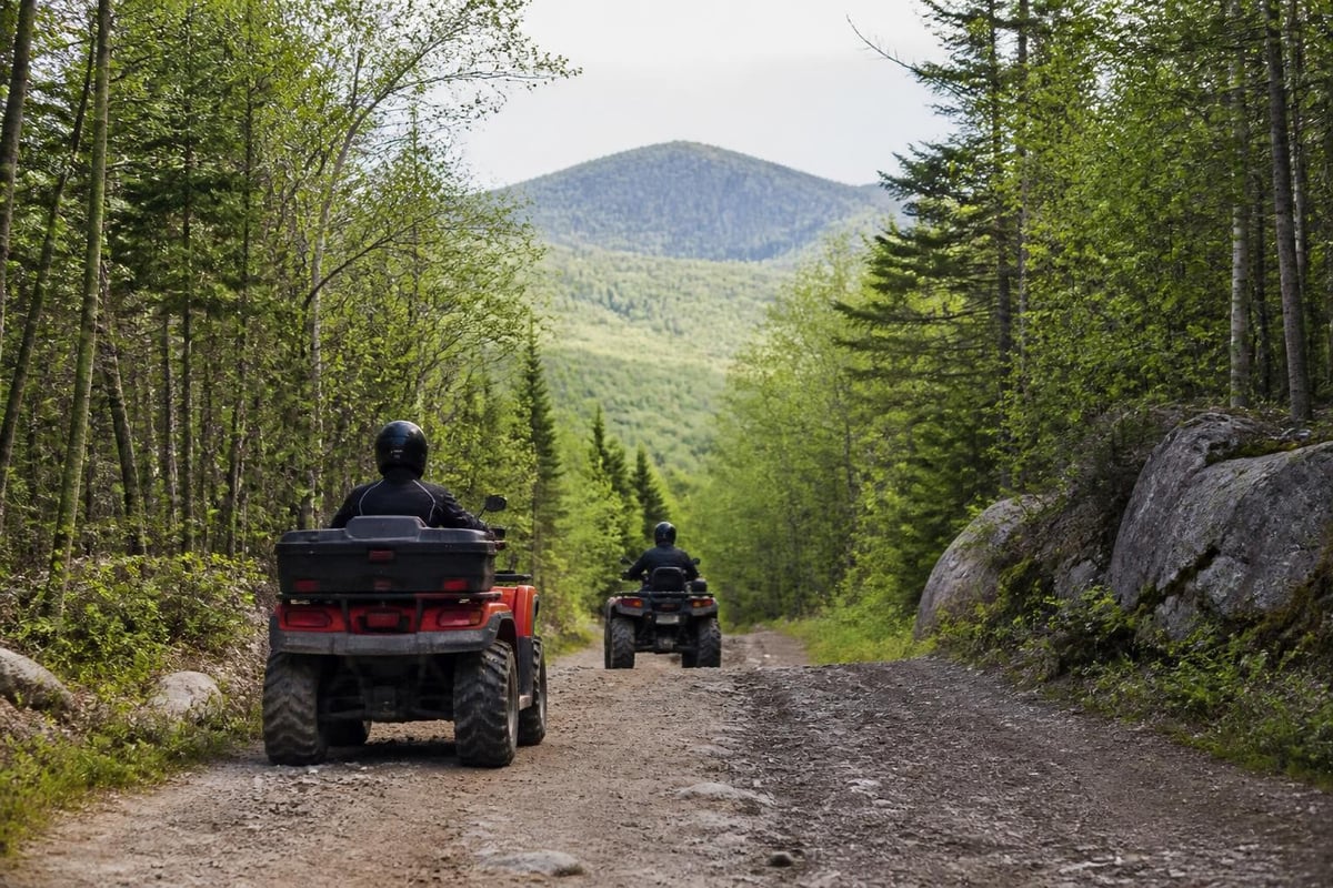
Maine maintains one of the most extensive ATV trail networks in the northeastern United States, with over 3,500 miles of marked trails managed by local clubs, landowners, and state agencies. The system operates through a unique public-private partnership model where clubs develop and maintain trails on private land, creating an interconnected web of routes across multiple counties.
The trail system divides into several major regions, each with distinct terrain characteristics and difficulty levels. Northern Maine, particularly Aroostook County, offers the most extensive contiguous trail network, while central regions like the Kennebec Valley provide diverse riding through working forests, alongside rivers, and through historic communities.
Regional Trail Networks and Connectivity
Trail connectivity varies significantly by region. Some areas offer hundreds of miles of interconnected routes, while others feature shorter loop systems or spoke-and-hub designs centered around specific communities.
Major Trail Regions:
- Aroostook County: 2,200+ miles of interconnected trails
- Piscataquis County: 800+ miles through North Maine Woods
- Kennebec Valley: 400+ miles connecting communities and natural areas
- Western Mountains: Alpine terrain with seasonal variations
- Downeast: Coastal forest riding with saltwater views
The Kennebec Valley region specifically provides excellent trail access for riders staying in central Maine, with routes connecting to The Forks, a renowned hub for outdoor recreation. Riders can explore the Forks Area Chamber of Commerce for local trail conditions and amenities.
Finding and Accessing Trail Maps
Locating accurate, current trail maps requires tapping into multiple resources, as no single comprehensive map covers the entire state system. Trail conditions, easements, and routing change seasonally and annually based on landowner agreements and maintenance schedules.
Official State Resources
Maine's Department of Inland Fisheries and Wildlife provides regulatory guidance and basic trail information, though detailed routing typically comes from local clubs. The official summary of Maine ATV laws and rules includes statewide trail registration requirements and legal operating parameters that every rider must understand before accessing any trail system.
State resources focus primarily on regulatory compliance rather than detailed cartography, making them essential for understanding rules but insufficient for actual route planning. Registration information, operator age requirements, and seasonal restrictions all appear in state publications.
Statewide Advocacy Organizations
ATV Maine serves as the primary statewide advocacy organization, coordinating between local clubs and providing centralized resources for riders. Their website offers valuable planning tools and connects riders with regional club contacts who maintain the most current trail information.
The organization's interactive maps page aggregates club-provided maps and regional PDFs, creating a central clearinghouse for trail information across Maine. This resource proves particularly valuable when planning multi-day trips that cross multiple club territories or county boundaries.
| Resource Type | Best For | Update Frequency | Detail Level |
|---|---|---|---|
| State websites | Regulations, registration | Annual | Low |
| ATV Maine | Statewide overview, club contacts | Seasonal | Medium |
| Local clubs | Current conditions, detailed routing | Weekly/Monthly | High |
| Chamber websites | Regional amenities, lodging | Seasonal | Medium |
| GPS apps | Real-time navigation | Continuous | Variable |
Regional Trail Map Resources
County and regional chambers of commerce maintain detailed trail maps tailored to their specific areas, often including lodging, fuel stops, and emergency services alongside trail routing.
Northern Maine Networks
Visit Aroostook’s ATV map resources provide comprehensive coverage of the state's largest interconnected trail system. The county's flat to rolling terrain and extensive private forest land create ideal conditions for long-distance riding with minimal road crossings.
Aroostook County maps typically show hundreds of miles of trails with detailed waypoints for services, making multi-day expeditions practical without constant reference to multiple sources. The region's trail density supports loop rides ranging from 50 to 200+ miles.
Central Maine Trail Systems
The Kennebec Valley offers diverse riding terrain with easier access from population centers. Trail maps for this region emphasize connectivity between communities and natural features, with routes following river valleys and traversing working forests.
The Forks area trail maps detail routes in one of Maine's premier outdoor recreation destinations, where ATV trails intersect with whitewater rafting, hiking, and fishing opportunities. This concentration of activities makes comprehensive planning essential for maximizing your visit.
North Woods and Piscataquis County
Piscataquis Chamber’s ATV and snowmobile maps cover vast stretches of remote forest land with limited services. These maps require careful attention to fuel range, emergency preparedness, and weather conditions due to the region's isolation.
Trail systems in this area often require club membership or day passes purchased through local businesses, with map distribution tied to access permission. Understanding these requirements before departure prevents access issues on remote trails.
Using Your Maine ATV Trail Map Effectively
Acquiring a maine atv trail map represents only the first step in successful navigation. Understanding map symbols, planning realistic daily distances, and identifying critical waypoints ensures safe, enjoyable rides.
Map Reading Fundamentals
Trail maps use standardized symbols to indicate trail difficulty, surface conditions, and permitted vehicle types. Single-track trails, multi-use corridors, and road connections each appear with distinct markings, while colored coding typically indicates difficulty levels similar to ski resort systems.
Essential Map Features:
- Trail classification (beginner, intermediate, advanced)
- Surface type (gravel, dirt, rocky, mud-prone)
- Seasonal closures or restrictions
- Landowner boundaries and restricted areas
- Emergency access points and cell coverage zones
- Service locations (fuel, food, lodging, repairs)
Pay special attention to road crossings, which require different operational rules under Maine law. Maps should clearly mark these transitions, though not all do so consistently across different club territories.
Distance and Time Planning
Trail miles differ significantly from road miles in terms of time required. Technical terrain, elevation changes, and trail conditions can reduce average speeds from 25-30 mph on smooth trails to 5-10 mph on challenging sections.
A 100-mile trail ride might require 4-8 hours depending on conditions and rider experience. Maps rarely include elevation profiles, making advance research through local clubs valuable for understanding terrain demands.
Digital and GPS Navigation
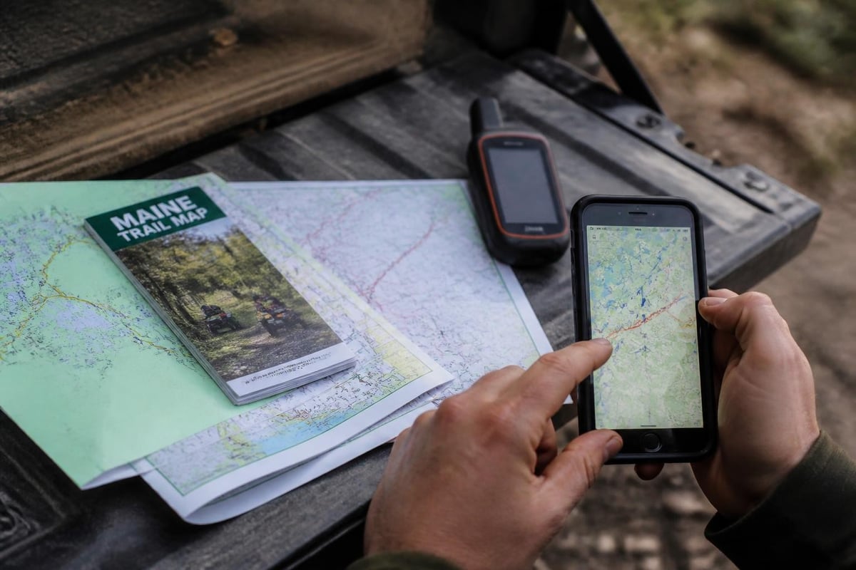
Modern GPS units and smartphone apps supplement paper maps but shouldn't replace them entirely. Electronic devices fail, lose signal, or run out of battery, particularly in Maine's remote regions where cell coverage remains spotty.
Popular GPS apps for Maine ATV riding include specialized trail navigation software that overlays club maps onto topographic backgrounds. These tools allow real-time position tracking and waypoint marking but require downloaded offline maps for areas without cellular data coverage.
Planning Your Kennebec Valley ATV Adventure
The Kennebec Valley's central location makes it an ideal base for exploring multiple trail systems within day-trip distances. The region combines accessible trail networks with full-service communities offering lodging, dining, and equipment support.
Trail access points near major communities provide convenient starting locations for rides ranging from 20-mile afternoon loops to 100+ mile full-day expeditions. The valley's trail system connects to larger northern networks, enabling extended trips into more remote areas while maintaining reasonable proximity to services.
Seasonal Considerations
Maine ATV trail access follows seasonal patterns tied to ground conditions and landowner agreements. Most trails operate from late May through November, with exact dates varying by region and annual weather patterns. Wet spring conditions may delay openings, while early snow can end seasons prematurely.
Summer riding offers dry, fast conditions but also brings increased traffic on popular routes. Fall presents spectacular foliage viewing opportunities combined with cooler temperatures and reduced crowds. Each season requires different planning approaches regarding clothing, emergency gear, and backup plans.
Services and Amenities
Planning fuel stops proves critical on longer rides, as Maine's rural trail systems often span 40-60 miles between service points. Your maine atv trail map should identify all available fuel locations, though calling ahead confirms current operations and hours, particularly for seasonal businesses.
The Kennebec Valley provides multiple full-service communities along trail networks, reducing range anxiety compared to more remote northern systems. Augusta, Waterville, and surrounding towns offer equipment dealers, repair services, and emergency medical facilities within reasonable distances of most trail access points.
Trail Map Sources and Formats
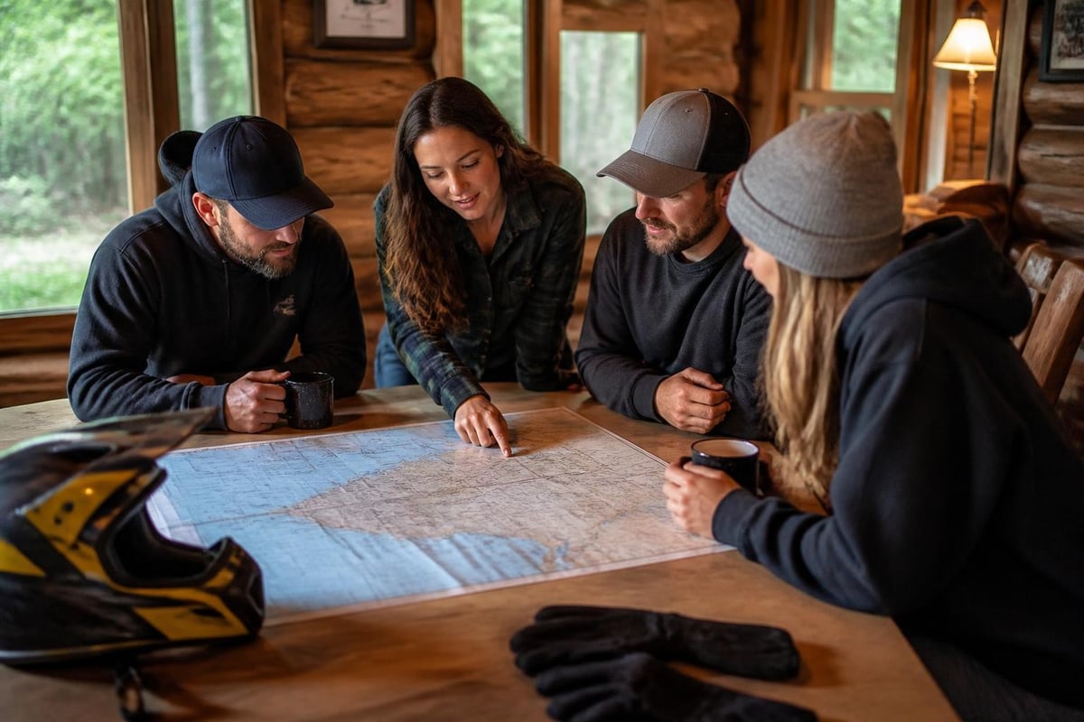
Maine ATV trail maps come in multiple formats, each with distinct advantages for different riding styles and planning needs.
Printed Club Maps
Local ATV clubs produce the most detailed printed maps for their trail systems, often selling them as fundraisers to support trail maintenance. These maps include insider knowledge about challenging sections, scenic viewpoints, and landowner restrictions not appearing on general-distribution maps.
Club maps typically cost $5-15 and can be purchased at local businesses, club events, or through mail order. Many clubs update their maps annually, with mid-season supplements addressing major reroutes or closures.
Regional Tourism Maps
County tourism councils and chambers of commerce publish broader regional maps emphasizing visitor amenities alongside trail routing. These resources excel at trip planning, showing how trail systems connect with lodging, dining, and other attractions.
Digital and Mobile Formats
Downloadable PDF maps provide convenient access without requiring cellular connectivity, though they lack the real-time updates and GPS integration of dedicated apps. Many clubs now offer digital versions of their printed maps through their websites or ATV Maine’s central repository.
Mobile apps with offline capability combine the detail of club maps with GPS tracking, though map quality varies by developer. The best apps allow users to download entire regions for offline use while still tracking position through device GPS.
| Format | Advantages | Disadvantages | Best Use |
|---|---|---|---|
| Printed club map | Detailed, reliable, no batteries | Bulky, static, weather-sensitive | Primary navigation |
| Regional tourism map | Context, amenities, big picture | Less trail detail | Trip planning |
| GPS unit | Tracking, waypoints, durable | Expensive, learning curve | Technical riding |
| Smartphone app | Convenient, updatable, photos | Battery drain, fragile | Supplement only |
| PDF download | Free/cheap, printable | No interactivity | Pre-trip study |
Respecting Land Access and Trail Etiquette
Understanding and following trail etiquette preserves the access agreements that make Maine's extensive ATV trail system possible. Most trails cross private land whose owners grant permission based on responsible rider behavior.
Landowner Relations
Trail maps sometimes indicate private property boundaries, though not always comprehensively. Staying on marked trails, respecting closure signs, and avoiding unnecessary noise near residences maintains the goodwill essential for continued access.
Many trail closures result from landowner complaints about rider behavior. Each violation jeopardizes access not just for you but for every future rider, making compliance both an ethical and practical necessity.
Environmental Stewardship
Trail maps may note environmentally sensitive areas requiring extra care. Wetland crossings, stream fords, and steep slopes demand appropriate speed and technique to prevent erosion and habitat damage.
Riding through mud holes creates ruts that worsen with each pass, eventually making trails impassable and forcing reroutes. Responsible riders seek alternate routes around damaged sections rather than contributing to deterioration.
Safety and Emergency Preparedness
Your maine atv trail map should include emergency contact information and access point identifiers usable when calling for assistance. Maine's rural trails may be miles from paved roads, making precise location communication critical in emergencies.
Carry a physical map even when using GPS, along with a compass or backup navigation method. Electronic failures occur at the worst possible times, and no technology replaces basic map-reading skills when orientation becomes critical.
Combining Trail Riding with Valley Attractions
The Kennebec Valley's ATV trails integrate with broader recreational opportunities, allowing riders to combine trail adventures with other activities. The region's position between northern wilderness and southern population centers creates unique access to diverse experiences.
Kennebec Valley Tourism Council provides comprehensive resources for planning multi-activity trips that extend beyond trail riding. Whitewater rafting, fishing, hiking, and cultural attractions complement ATV adventures, making the valley ideal for mixed-interest groups.
Morning trail rides followed by afternoon river trips or evening downtown dining create memorable multi-dimensional experiences. Trail access points near communities allow riders to explore backcountry routes without sacrificing access to restaurants, breweries, and cultural venues.
Trail Maintenance and Club Support
The clubs that maintain Maine's trail system operate as volunteer organizations, relying on memberships, donations, and fundraising to keep trails open and safe. Purchasing maps and joining clubs directly supports the work that makes riding possible.
Understanding Trail Conditions
Trail maintenance varies by club resources, landowner requirements, and seasonal priorities. Spring maintenance focuses on clearing winter damage, while summer work emphasizes drainage and surface improvements. Fall preparation includes signage updates and hazard marking before hunting seasons.
Maps generally don't reflect current maintenance status, making pre-ride contact with local clubs valuable for understanding conditions. Clubs often post updates on social media or websites about recent work, closures, or reroutes not yet reflected on printed maps.
Supporting the Trail System
Every rider benefits from volunteering time or resources to trail clubs. Even visitors can contribute through club membership purchases, map sales, or donations. These organizations operate on slim budgets, making every contribution meaningful for trail sustainability.
Navigating Maine's diverse ATV trail network requires combining multiple map sources with local knowledge, seasonal awareness, and respect for the land access that makes riding possible. Whether exploring the Kennebec Valley's scenic routes or venturing into more remote northern systems, proper planning transforms good rides into exceptional adventures. Kennebec Valley Tourism Council offers comprehensive resources to help you plan your perfect Maine ATV experience, from trail access information to lodging and dining recommendations that complement your riding adventures.